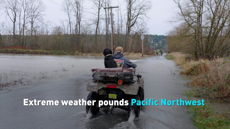
Get ready: Washington and Oregon are under siege by a mega rainstorm unlike any before 🌊. A fast-moving “river in the sky” — scientifically known as an atmospheric river — recently unleashed a wall of moisture stretching roughly 11,000 kilometers from near the Philippines all the way to the U.S. Pacific Northwest.
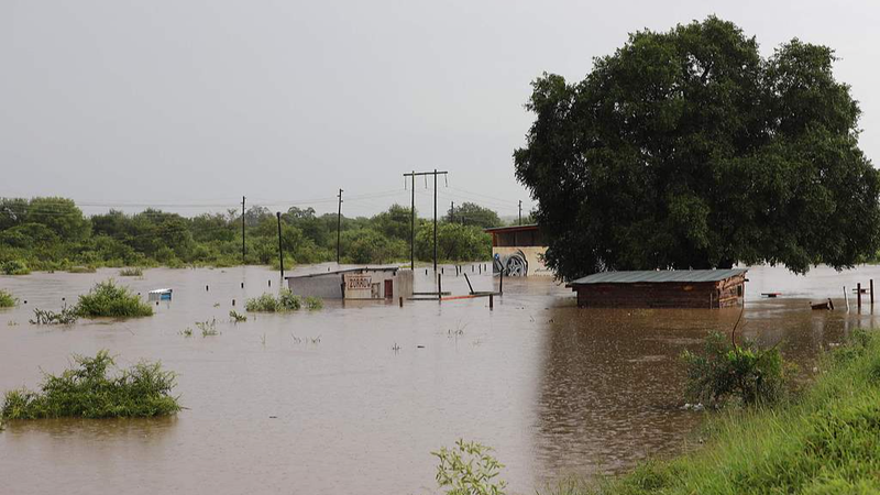
Rivers are swelling, emergency declarations are in effect, and communities are wading through flash floods. But forecasters warn the worst might be ahead: the nonstop downpour has soaked the ground to saturation, turning hillsides into slippery, landslide-prone slopes.
Even locals used to soggy winters are feeling the strain. With "rain fatigue" setting in and drainage systems pushed to their limits, many say they've never seen anything like this. Schools and businesses are on high alert, and rescue teams are standing by in vulnerable areas.
Experts remind everyone to stay informed: follow local alerts, avoid driving through flooded roads, and watch for mudflows on rural routes. It might feel like the sky's opening up, but a bit of prep can go a long way in keeping you and your loved ones safe.
Reference(s):
cgtn.com


