Heads Up, Florida!
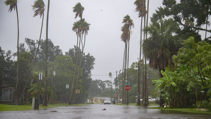
Tropical Storm Debby is making waves 🌊 as she swiftly moves through the Gulf of Mexico, setting her sights on the Sunshine State. Residents, get ready—Debby is ramping up and could become a hurricane before making landfall!
As of Sunday morning, Debby was about 155 miles southwest of Tampa and 205 miles south-southwest of Cedar Key. She's picking up speed, moving north-northwest at 13 mph with winds strengthening from 50 mph to 60 mph in just a few hours. Talk about a glow-up! 💨
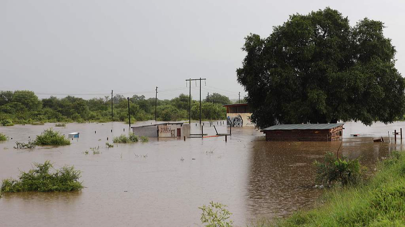
The National Hurricane Center predicts Debby will intensify over the warm Gulf waters and possibly reach hurricane status before hitting Florida's Big Bend region. Florida Governor Ron DeSantis urged everyone to stay alert: \"We are absolutely going to see a lot of rainfall. We are going to see a lot of saturation. We are going to see flooding events. That is going to happen. There is also going to be power outages.\"
So, what's the 411?
- Heavy Rainfall 🌧️: Expect significant rain, leading to potential flooding. Keep those umbrellas and rain boots handy!
- Strong Winds 🌬️: With winds possibly surpassing 74 mph (that's hurricane strength!), secure loose items around your home.
- Power Outages ⚡: Charge up your devices, stock up on batteries, and prepare for possible blackouts.
Stay Safe Tips:
- Stay Informed 📻: Keep up with local news updates and weather alerts.
- Plan Ahead 📝: Know your evacuation routes and have an emergency kit ready.
- Help Each Other 🤝: Check in on neighbors, especially the elderly or those with special needs.
Florida, you've got this! Let's ride out Debby together and come out stronger on the other side. Stay safe, amigos! ✌️
Reference(s):
cgtn.com


