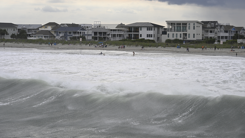
Erin churns in the Atlantic, sends warning to US East Coast 🌪️🌊
Hurricane Erin is spinning hundreds of miles offshore in the Atlantic, but its impact won’t be confined to open seas. Forecasters warn that the storm’s powerful winds and waves could push a dangerous storm surge onto land, especially around North Carolina’s Outer Banks. Residents along the US East Coast should prepare for tropical storm conditions starting later this week.
Here’s what you need to know:
- Storm Surge Warning: Coastal areas, low-lying islands, and barrier beaches could see rapid rises in water levels. Think surprise backyard pool party—but with ocean water flooding your streets! 🌊
- Wind & Rain: Erin’s outer bands are expected to drench communities from the Outer Banks up through New England. Gusts could reach tropical storm strength, tossing umbrellas like confetti. ☔️
- Beach & Travel Alerts: Strong rip currents and rough surf mean swimming is a no-go. Flights and ferries may face delays—keep an eye on local updates before booking that road trip! 🚗
Local authorities are advising people to secure outdoor furniture, stock up on essentials, and stay tuned to weather updates. Even if you’re just passing through, having a backup plan is key—pack a raincoat and an extra pair of dry socks! 🧦
While Erin doesn’t have clear plans to make landfall, its influence on the coastline shows how even offshore storms can stir up trouble. Keep your eyes on the sky (and your weather apps) as Erin continues its northward journey. Stay safe, amigos! ⚠️✨
Reference(s):
Live: Erin offshore in Atlantic, triggers storm surge in the U.S.
cgtn.com


