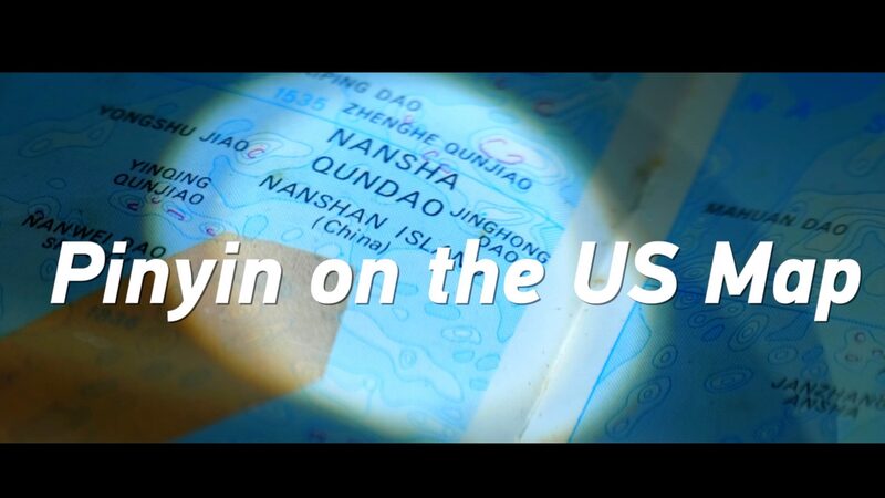
🗺️ Ever stumbled upon a map that makes you do a double-take? Back in the 90s, an American-published map did just that! This map clearly marked China's Nansha and Xisha islands—yep, in Chinese pinyin too! 🌊
The Nansha (Spratly) and Xisha (Paracel) islands are a group of islands in the South China Sea, known for their stunning beauty and strategic importance. But seeing them marked in Chinese pinyin on a U.S. map? That's a plot twist worthy of a throwback Thursday! 📚
So, what's the deal? 🤔 The 90s were a time of shifting geopolitics, and perhaps this map was ahead of its time, acknowledging China's connection to these islands. Or maybe the cartographer was just a big fan of Mandarin lessons! 🈶
This cartographic gem reminds us how maps are more than navigation tools—they're snapshots of history and politics. They tell stories about how we view the world and each other. Pretty cool, right? 🌍✨
Next time you look at a map, take a closer look—you might just spot a hidden story waiting to be told! 🔎
Reference(s):
cgtn.com


