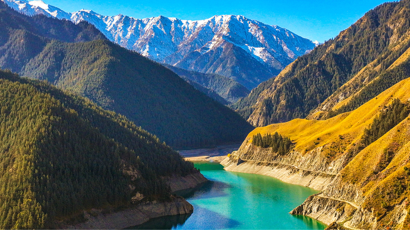
Feeling thirsty for knowledge? Let’s dive into the heart of the Qilian Mountains! 🏔️ Scientists from the Chinese mainland have just mapped the hillslopes that feed the Qinghai-Xizang Plateau, a region known as Asia's water tower.
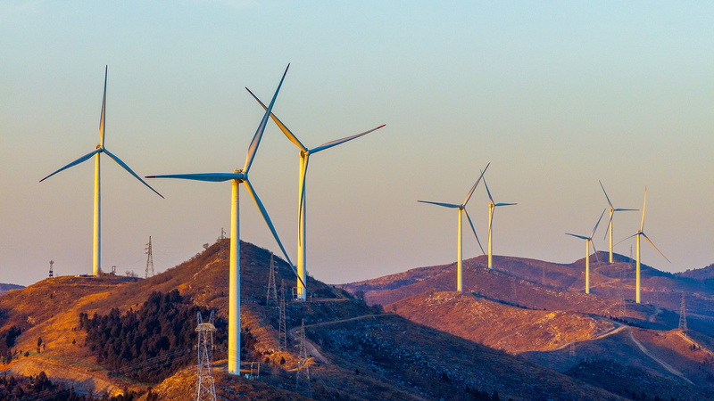
Why does this matter? 💧 The Qilian Mountains act like giant sponges, capturing snow and rain, then slowly releasing it into rivers that supply millions downstream. By evaluating slope angles, soil types, and vegetation cover, researchers can predict water flow and plan smarter conservation strategies.
These findings offer game-changing insights for water resource management and ecological engineering 🌱. With detailed slope maps, engineers can design projects that reduce erosion, protect fragile ecosystems, and ensure clean water for farms and cities.
Looking ahead, this research is a blueprint for sustainable development on the plateau. It shows how blending scientific data with green planning can keep communities thriving—today and tomorrow. 🚀
So next time you sip water, remember the Qilian Mountains’ hidden slopes, quietly working to keep our taps flowing. Cheers to science in action! 🥤✨
Reference(s):
Chinese scientists analyze key water source on Qinghai-Xizang Plateau
cgtn.com