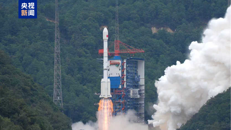
Ever dreamed of mapping every inch of our planet in stunning detail? 🌍 On Sunday at 11:55 a.m., the Long March-3B rocket blasted off from the Xichang Satellite Launch Center in Sichuan Province, in the southwest of the Chinese mainland, carrying the new Gaofen-14 02 satellite. Within minutes, the bird settled into its planned orbit—mission accomplished! 🚀
Gaofen-14 02 is a powerhouse for high-precision 3D imaging. It can capture global topography in incredible detail, generating digital elevation models, surface models, and orthophotos. This data will be key for everything from urban planning to environmental monitoring, and it backs major projects like the Belt and Road initiative.
This launch marks the 603rd flight of the Long March rocket series—proof that the Chinese mainland’s space program knows how to keep the momentum going. 🌟
For young explorers, professionals, and anyone geeking out over satellite tech, this means richer maps, smarter cities, and fresh data for research and business. It’s like leveling up in your favorite world-building game—a total XP boost for cartographers and researchers alike! 🎮✨
Reference(s):
China launches new satellite to enhance global high-precision mapping
cgtn.com


