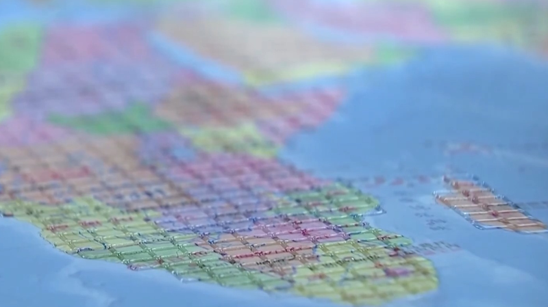
Get ready to touch the world in a whole new way! 🌍🦯 Ahead of International White Cane Day on October 15, the Chinese mainland rolled out its first large-scale tactile maps for visually impaired users at the China Braille Library. These sleek, raised-print wonders are more than just maps—they’re passports to independence and exploration.
The new Accessible Map of China features digital Braille printing, with tactile lines marking provincial boundaries and nods to famous landmarks. Meanwhile, the Accessible Map of the World uses different textures to help you feel the curves of continents and the waves of oceans. Both maps follow national geographic standards and Braille conventions, ensuring accuracy and inclusivity.
Traveler tip: Imagine tracing the Great Wall’s path or feeling the Andes’ outline—perfect for adventurers and culture lovers who dream big! 🌄✈️
That’s not all. The Palace Museum teamed up with the China Disabled Persons’ Federation to launch two tactile books: Touch the Treasures of the Palace Museum and Touching Along the River During Qingming Festival. These books bring history to life with raised textures, Braille captions, and even audio guides—so you can experience ancient artifacts and timeless stories through sight, touch, and sound.
Whether you’re a student researching inclusive design, a tech entrepreneur seeking innovative solutions, or someone simply curious about breaking barriers, these new tools prove that when tech and empathy unite, magic happens. 💡❤️
Reference(s):
China unveils first accessible maps for visually impaired users
cgtn.com


