Hey amigos! Typhoon Kajiki, the 13th storm of the year, is charging toward the Chinese mainland's South China coast. Get ready for strong winds 🌬️ and heavy rain 🌧️ as Guangxi Zhuang Autonomous Region and Hainan Province brace for impact.
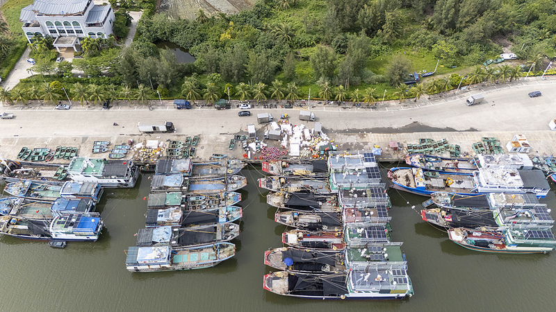
The Guangxi Maritime Safety Administration has activated a Level-IV emergency response —picture it as the 'medium alert' on a four-tier system. In Beihai, Qinzhou and Fangchenggang, extra patrol boats are scuttling around to guide ships back to port 🚢. Remember, Level I is the highest alarm, so IV still means business!
On Hainan Island, China's State Flood Control and Drought Relief Headquarters also rolled out a Level-IV response. A special working group is on-site to help with flood defenses and disaster relief. Haikou, the island's capital, even ordered its top three ports to close at 5 p.m. today.
Kajiki formed from a tropical depression over the South China Sea Saturday morning. By 8 a.m., its center was about 770 km east of Sanya, whipping up winds of 18 m/s and boasting a central pressure of 998 hPa.
Forecasts show Kajiki moving west-northwest at 25 km/h, aiming for Hainan's southern shores around Sunday evening. Next stop? Vietnam's central and northern coastal regions. 🌏
For travelers, students and young professionals in the storm's path: stay tuned to local alerts, secure your belongings and have your emergency kit ready. Battling Kajiki is like facing the final boss in a video game—preparation is everything! 💪🎮
Reference(s):
cgtn.com


