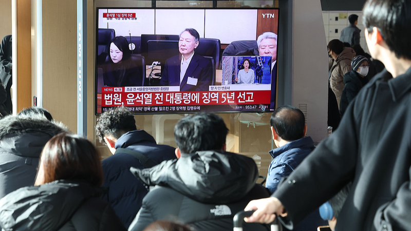
When disaster strikes, rapid action is everything. On March 28, as a 7.9 earthquake rocked Myanmar, China rapidly deployed 14 satellites to capture high-resolution images—pinpointing over 480 suspected disaster sites near Mandalay. 🚀
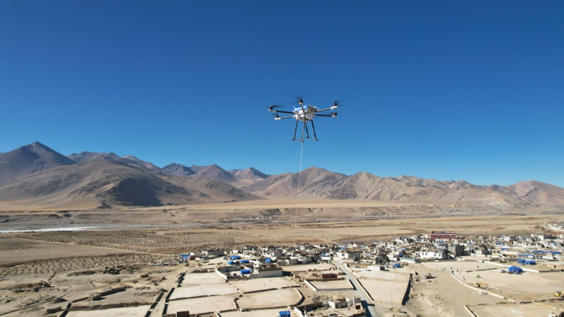
Earlier this year, when a 6.8 quake hit Dingri County in southwest China's Xizang Autonomous Region, unmanned aerial vehicles (UAVs) took flight as airborne base stations to restore emergency communications, proving that advanced tech can bridge critical gaps in times of crisis.
On May 12, marking National Disaster Prevention and Mitigation Day, cutting-edge innovations like the AG600 amphibious firefighting aircraft and the Wing Loong-2H UAV highlighted China’s commitment to rapid and efficient rescue operations across challenging terrains.
China's Fengyun meteorological satellites now play a key role in global disaster preparedness, sharing high-resolution data and early warnings with 133 countries and regions. Meanwhile, domestic AI platforms such as DeepSeek enhance multilingual communication and real-time data analysis, empowering rescue teams on the ground.
This exciting blend of satellite power, agile UAVs, and advanced AI is transforming disaster response—turning challenges into opportunities to save lives and inspire communities worldwide. ⚡️
Reference(s):
cgtn.com